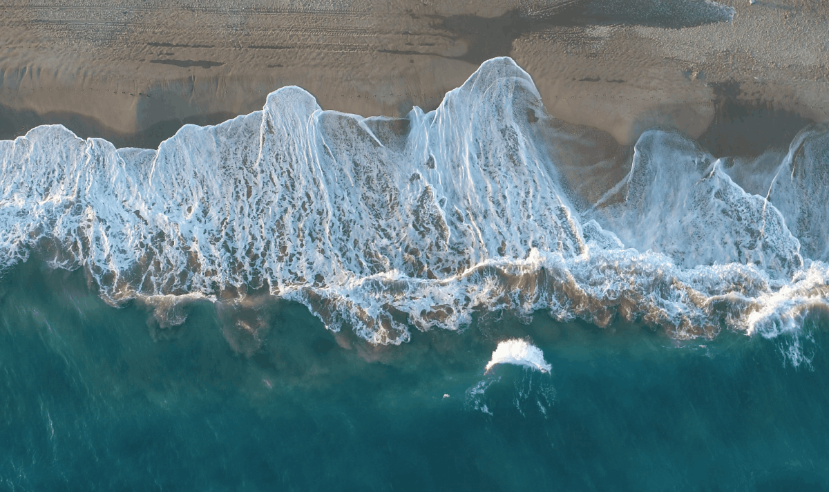
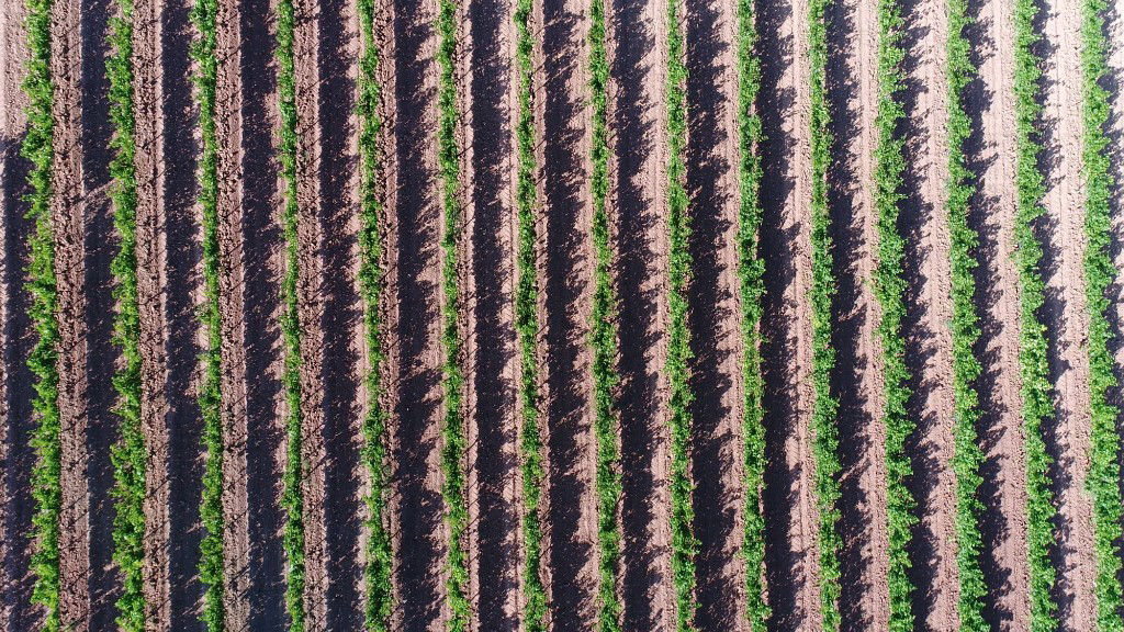
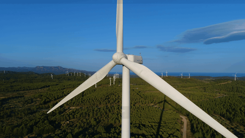
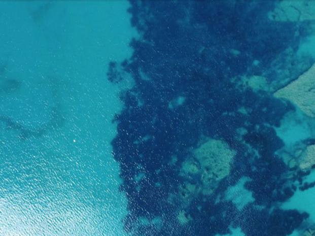
Terabites of author videos and photos of Catalonia, Aragon, Valencia, Teruel, Andorra and other places are available at our Data Server. We are ready to film for you on demand. Contact us for details
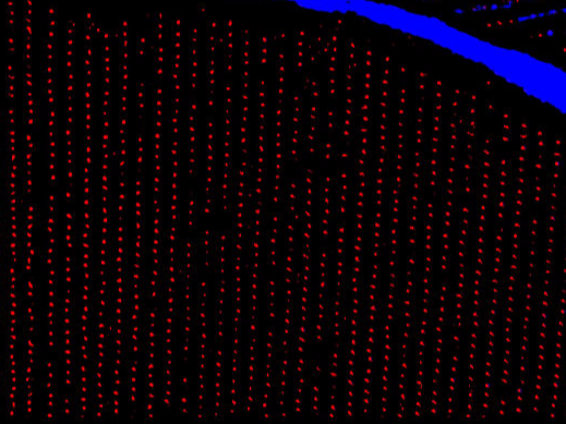
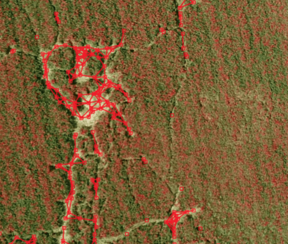
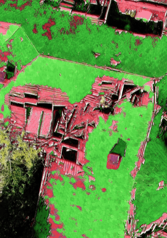
AI powered algorithms to detect, classify, recognize and segment features in the aerial photos and videos. Applications are ranging from precision agriculture to deep damage analysis.
Creation 360° (sphere photo), 180°, horizontal, vertical panoramas from the drone with up to 23004x11502 resolution RAW.
Drone inspection, georeferenced maps and 3D models of the site and buildings.
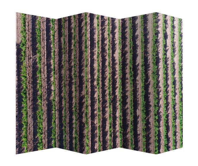
Terrain modeling, large scale mapping, stiching of drone photos in 2D maps. For precision agriculture, see our offers in image analysis for detection and segmentation of agriculture fields.
Each client has a personalized quote and work plan. The algorithms may be tuned and ajusted to the needs of the clients.
The prices are determined case-by-case taking into account the exact requirements of a client and complexity of the required work.
Our servers are ready for computationally intensive jobs to process big data taking advantage of power of modern GPUs and artificial intelligence.
We are open for unexplored scientific problems that can be solved by massive analysis of images using machine learning techniques.